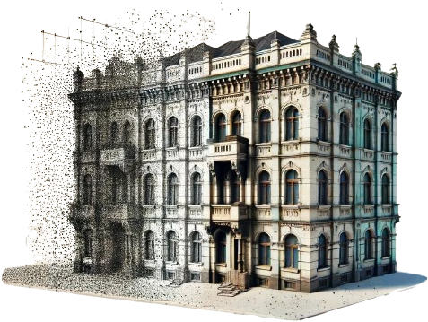
Is a digital representation of a physical object or space, created by capturing millions of data points from its surface using laser scanners or photogrammetry. Each point has precise spatial coordinates (X, Y, Z), forming a detailed 3D model.
Point-clouds are used in architecture, construction, engineering, and manufacturing to create accurate models, perform measurements, and facilitate design and analysis. They provide precise spatial information and detailed documentation, making them invaluable for complex geometries.
The process begins with you submitting your 3D scanned file. We work with the raw point-cloud data you provide, which is a collection of data points in space representing the surface of the scanned object or environment.
Next, we process the point-cloud data to create a mesh. This step involves connecting the dots to form a network of vertices and edges, providing a more structured and defined representation of the scanned object.
Finally, our skilled technicians refine the mesh into a fully rendered 3D model or a precise 2D drawing. This model is enhanced with textures, colors, and other details to create a lifelike representation ready for analysis, visualization, or production.
What makes ENGINYRING your ideal partner for 3D and BIM modeling ?
• Communication is our priority. We ensure client satisfaction by meeting deadlines and providing regular updates throughout the project.
• Our team of 3D modeling and BIM experts are passionate and fully committed to their work, delivering high-quality results with innovative solutions.
• We excel at processing your scans to create precise 2D and 3D models, ensuring that every detail is accurately captured and represented.
• Clients enjoy our commitment and provided advice for the duration of their 2D, 3D and BIM projects, receiving guidance for the best possible outcomes.
• Our flexible scheduling, including weekend shifts, guarantees timely project delivery, allowing us to meet tight deadlines and adapt to your project needs.
• Last but not least, we operate huge datacenter infrastructure on two continents (Europe and North America), allowing us to process and store really big projects.
For efficient, versatile, and valuable project outcomes, choose us for your 3D modeling and BIM needs.
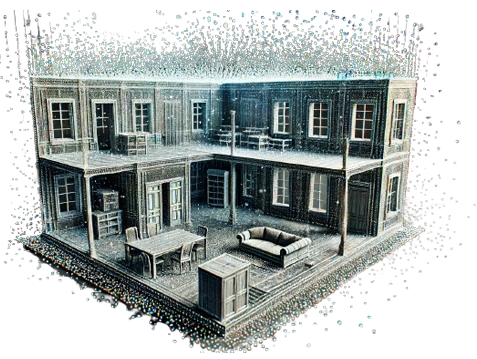
We can process your 3D Point-Cloud scan multiple ways.
We can deliver 2D drawings such as: floor plan, façade, elevation, section, roof plan, roofing plan (more info on what they are, here) or 3D renderings and models of the object(s) scanned.
We accept most major Point-Cloud formats.
Eg. LAS/LAZ/PLY/PTS/DXF/E57... and more.
The accuracy of the 2D and 3D models generated from point-cloud data is extremely high, typically within millimeter precision. This high level of accuracy ensures reliable and detailed representations of the physical space, which are essential for precise planning, design, and construction.
The time required to process point-cloud data into 2D drawings or 3D models can vary depending on the complexity and size of the project. Typically, smaller projects can be completed in a few days, while larger, more complex projects may take several weeks. We provide estimated timelines based on the specific requirements of each project.
We use secure, encrypted storage systems and limit access to authorized personnel only. We comply with data protection regulations and can sign NDAs to ensure confidentiality.
Yes, we have the expertise and technology to handle large and complex projects.
Our team is equipped to process extensive point-cloud data and generate accurate 2D and 3D models for any size of project.
We also have a state-of-the-art datacenter infrastructure on two continents (EU and USA) to compute and process really big data.
We have the answers!
Reach out to us and we will get back to you shortly.